Showing posts with label turtle. Show all posts

9/8/14

#16: Roseway Basin- the last leg

After working so hard, the team felt lucky to have a full day off on Cape Sable Island. A local friend of the project, Wanda, was kind enough to take some of us grocery shopping for some essentials (eg: potato chips and chocolate bars). Since a few of us had never ventured beyond the dock at Daniel's Head, Wanda took us on a mini tour of the area, making stops at two of the shipyards where impressively large fishing vessels are built, a house where a fin whale skeleton was laid out to decorate the front yard, and of course, Tim Horton's for coffee and donuts! Some of the team attended a boat race later in the day, while others hung back to get some quiet reading time in. It was great to feel slightly more rested before tackling the last leg of our trip.


Fin whale skeleton- a different kind of lawn ornament.

We left Daniel's Head at the crack of dawn the next day on August 24 to steam south towards the eastern edge of Roseway Basin. This day held few right whale sightings for us- strong winds and a swell obscured animals at the surface, making them difficult to track and collect photos. Two of the four whales we photographed were very familiar to us- Aphrodite (Catalog #1701) and Caterpillar (#3503).


Caterpillar, not exactly crawling away. Photo: Philip Hamilton

The seas calmed overnight, and we woke on August 25 to a beautiful sea state 1. As soon as Philip and Marianna got on watch, blows were sighted and the rest of the crew were woken up to help with documentation. We had about five whales in close proximity all traveling in the same direction, but each surfacing at different times. Our photographers and whale watcher were kept on their toes- it was almost like playing that whac-a-mole arcade game! As we continued westerly on our survey, sightings became less frequent, and the rest of the day was pretty quiet.


Catalog #1304 fluking. Photo: Marianna Hagbloom

Our final day on the western edge of Roseway Basin would also be a quiet one- only one right whale was seen! This young whale was also travelling, but we were able to collect photographs before he/she disappeared.


A unique look at a right whale swimming beneath a glassy sea. Photo: Kelsey Howe

After long hours of survey with very few sightings to record, a small Kemp's Ridley turtle was spotted amongst some seaweed close to the Shelagh. Concerned due to its lack of movement, we turned around to check it out. It looked as though this turtle had been taste-tested, as teeth marks were seen on the carapice- we're guessing this is why the turtle appeared to be in poor health. Troubled but unable to help, we sadly had to leave this endangered turtle behind.


Injured Kemp's Ridley sea turtle. Photo: Kelsey Howe

A wall of fog met us as we wrapped up our Roseway surveys, and soon we were travelling home under a starlit night. Captain Joe manned the helm round-the-clock as each of us took turns keeping watch with him. Arriving back at port on Campobello Island in the morning, the crew organized gear, inventoried non-perishables and packed our belongings. It would only be a matter of days before the second offshore journey would begin and the Shelagh would be surveying Roseway Basin once again...


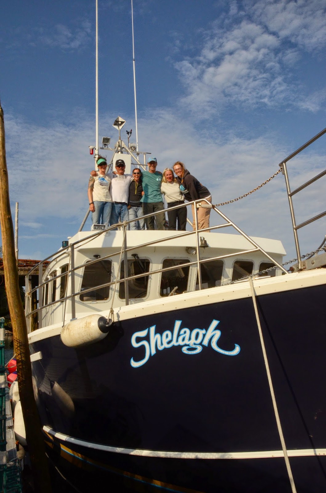
The Shelagh crew celebrates the end the first offshore expedition. Photo: Jerry Conway

-Marianna

11/14/11

Large Whale and Turtle Surveys for Wind Energy Development Planning in offshore Massachusetts

There is an increasing need to harvest alternative energy, and offshore wind is a valuable potential resource. A prerequisite for development is to determine appropriate sites where the impact to natural habitats would be minimal. Prospective sites may be in outer continental shelf waters, where there has been limited or no research performed in the past due to difficulties in reaching these distant locations as well as associated high costs.
In late 2010 the Department of Interior's Bureau of Offshore Energy Management, Regulation and Enforcement (BOEMRE) issued a Request for Interest (RFI) for commercial wind energy development in outer continental shelf waters off Massachusetts. The area south of Nantucket and Martha's Vineyard was originally 3,000 square miles, but was reduced to about half that size in response to the Commonwealth's recommendations representing the fishing industry. Massachusetts Clean Energy Center (MassCEC) in partnership with the state's Executive Office of Energy and Environmental Affairs (EEA) issued a Request for Proposals (RFP) to perform surveys in the RFI area. The 18-month contract was awarded to the New England Aquarium for marine resource characterization surveys of sea turtles, right whales and other large whales. MassCEC requires a year's worth of seasonal migratory data to inform the federal leasing process.

Map of the survey area. Eight north/south transect lines are flown within this area, with 7 nm separation. (Cartography: Brooke Wikgren, NEAq)

The Aquarium collaborated with other prestigious New England research groups in order to fulfill survey objectives, forming the Northeast Large Pelagics Survey Collaborative (NLPSC). University of Rhode Island, current curators of the right whale sightings database, will be involved in data collection methodology, density and distribution analyses and data quality control. Two experienced aerial observers / photographers on each survey flight are from Provincetown Center for Coastal Studies (PCCS) and the Aquarium. The two pilots from ASSIST-U.S. also have a background in aerial surveillance. The goal is to perform two aerial surveys per month with additional surveys in response to biological hotspots or areas of particular interest. The Bioacoustic Research Program (BRP) at Cornell University deployed six BRP-developed Marine Autonomous Recording Units (called "pop-ups") in a configuration to detect whales within and around the survey area. Automated data recognition and expert human validation detect vocalizations of blue, fin, right, humpback and minke whales. All five species are known to occur near the survey area and are readily identifiable by their species-specific vocalizations.


Crew left to right: Bob Lynch, PCCS; Jessica Taylor, NEAq; Richard Jackson and Scott Patten, ASSIST-U.S. (Photo: Dick Pierce, BroadOakStudios.com)

The survey aircraft is a Cessna O-2A, the military version of the C-337 (see image). Two observers in the rear seats scan for large whales, while the automated digital SLR camera mounted over optical glass in the belly port of the plane collects vertical photographic data at 5-second intervals for turtles on the tracklines. Aerial Imaging Solutions (AIS) developed and customized the camera mount system and data logging program. It enables us to acquire high quality images that compensate for the plane's forward motion, while we remotely operate the camera from our laptop. Each georeferenced image also has details of associated flight parameters such as altitude and speed.

Survey Aircraft, N9134Q (Photo: Jessica Taylor, NEAq)

Through the Aquarium's involvement in this project, we have developed a skilled aerial survey team with cutting edge technology to obtain high quality, reliable data. Consistent aerial surveys to retrieve valuable environmental data where historical survey data has been spatially and temporally inconsistent will help advancements towards assessing seasonal migration and habitat use in this region. We are proud to be an integral part of this collaborative effort in the contribution to informed decisions for offshore renewable energy development.


-Jessica